
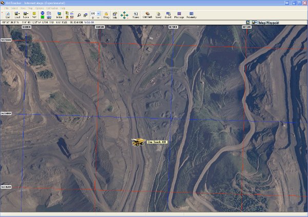
Satellite Image of B.C. Coal Mine Site in Sparwood B.C.
1 Kilometer Grid laid on map to show distances.
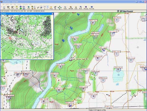
B.C. Scale 1:20000 Hillside Shaded Topographical of the Fort St. John Area
The Map View window shows all the oil and gas wells in the area. The main map shows the wells with Proximity Zones. All time will be recorded when a vehicle enters and leaves the zones.
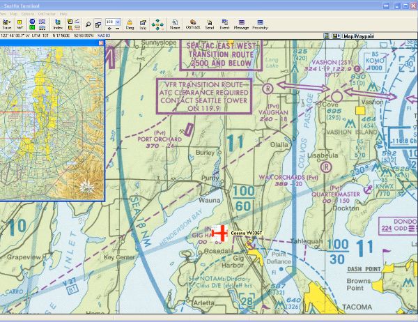
Air Plane Approaching Seatac Airport on Air Chart
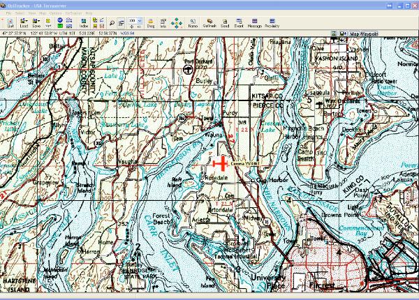
With a click of the mouse, OziTracker can show different maps at the same location.
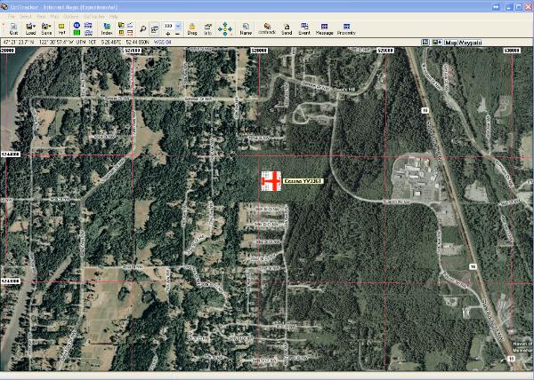
Same Air Plane on Satellite Hybrid Image
Same Air Plane on US Scale 1:24000 topographical map
Return to OziTracker for ICOM IDAS Radio